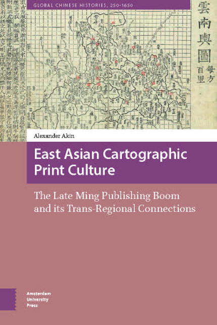
 East Asian Cartographic Print Culture
 The year 1975 marked five hundred years since a hefty tome published in Lübeck, the Rudimentum Novitorum, had incorporated a simple map of the world printed from two woodblocks. This quincentennial of the first printing of a map in a European book was widely celebrated among bibliophiles. The cartographic historian Arthur H. Robinson termed it a milestone in the annals of communication:
To appreciate properly this momentous event, we must remember that in all preceding time maps had existed only in manuscript form. That basic fact allows two important assertions: first, there could only be a few maps and, second, one could never be sure whether the content of a map was the work of the original maker or merely reflected the independence, or carelessness, of a copyist. Obviously, both inhibited scholarship.
The capability of printing maps immediately opened the way for countless numbers of exact duplicates that, for the first time, allowed scholars easily to compare many geographical portrayals, consider their characteristics, and plan ways to produce even better images of the emerging world. No doubt it also had a very considerable psychological impact on mapmakers, since the realization that their work could be widely subject to critical review probably served as an incentive to some and an inhibition to others. To the age-old art and science of mapmaking a tremendously significant new element had been added – the printer.
Scholars of Asian cartography might point out that this anniversary celebration was off by hundreds of years, given that East Asian printed maps survive from as early as the twelfth century. Despite this fact, European maps remain the sole focus of much work on cartographic history. What is perhaps more surprising than Robinson’s omission, however, is the degree to which the effects of publishing on cartography in East Asia differ from what we find on the European scene.
We know a fair amount about the competition that arose between printers in some parts of Europe, and the ways such rivalry propelled the evolution of cartographic representation. For example, James Elliot has discussed the ‘peer pressure’ that Sebastian Münster felt after he illustrated a number of cities with woodblock prints in the 1544 edition of his popular Cosmographia.
To save this book to your Kindle, first ensure no-reply@cambridge.org is added to your Approved Personal Document E-mail List under your Personal Document Settings on the Manage Your Content and Devices page of your Amazon account. Then enter the ‘name’ part of your Kindle email address below. Find out more about saving to your Kindle.
Note you can select to save to either the @free.kindle.com or @kindle.com variations. ‘@free.kindle.com’ emails are free but can only be saved to your device when it is connected to wi-fi. ‘@kindle.com’ emails can be delivered even when you are not connected to wi-fi, but note that service fees apply.
Find out more about the Kindle Personal Document Service.
To save content items to your account, please confirm that you agree to abide by our usage policies. If this is the first time you use this feature, you will be asked to authorise Cambridge Core to connect with your account. Find out more about saving content to Dropbox.
To save content items to your account, please confirm that you agree to abide by our usage policies. If this is the first time you use this feature, you will be asked to authorise Cambridge Core to connect with your account. Find out more about saving content to Google Drive.